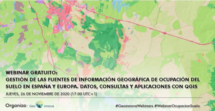
Management of geographical information sources of land occupation in Spain and Europe with QGIS
We recommend you to participate in this webinar on spatial databases and datasets of land occupation in Spain in particular and in Europe in general.
They will show how to correctly incorporate and manage the visualization of these data, and the exploitation through advanced queries with QGIS. In this way, you will have an important range of sources and data with which to complete your studies, projects, reports and maps, related to the territory and the environment.
The webimar will take place on the 26/11/2020 at 17h00 CET (UTC+1).
Presenter: Enrique López Rodríguez
Duration: 1 hour
Language: Spanish
Check out the agenda to see the rest of the information and register If you are interested in attending the webinar.